


Gadenhof 
Farm holiday in Innichen
Fam. Jud Elzenbachstr.1
M +39 328 3345175 info@gadenhof.it
4 holiday flats: 2-3 persons, 4-6 persons, 6-8 persons
Our guests love …
- farm museum
- Starting point for beautiful hikes
- Quiet location and wonderful view of the Dolomites
Farm with
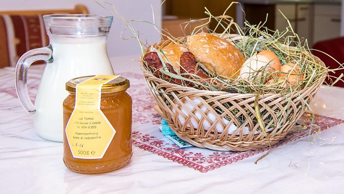
Farm's own products:
honey
Farm offers:
Barn visits, Visit to the farm museum
Our guests love …
- farm museum
- Starting point for beautiful hikes
- Quiet location and wonderful view of the Dolomites


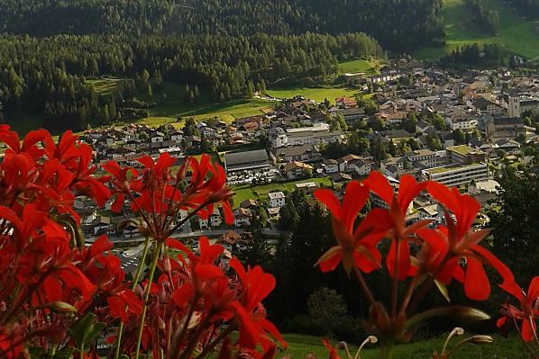
The farm
Quiet, sunny mountain farm at 1350 m altitude with a wonderful view of the Dolomites opposite and of Innichen.
Daily life on the farm
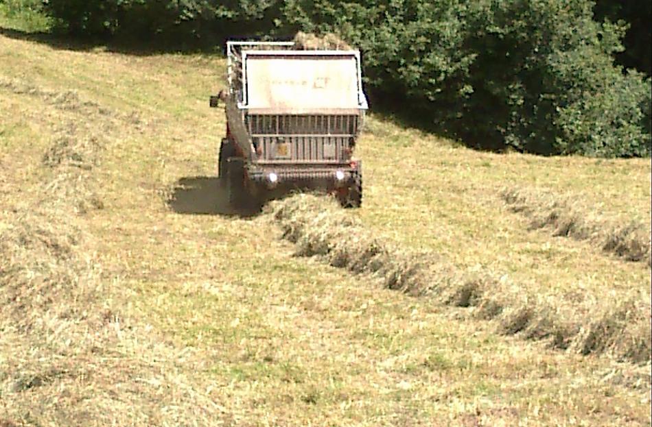
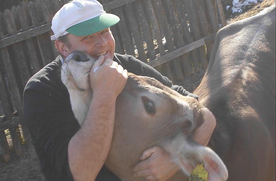
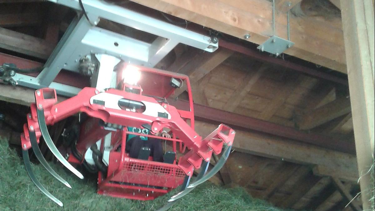
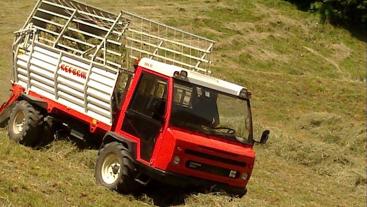
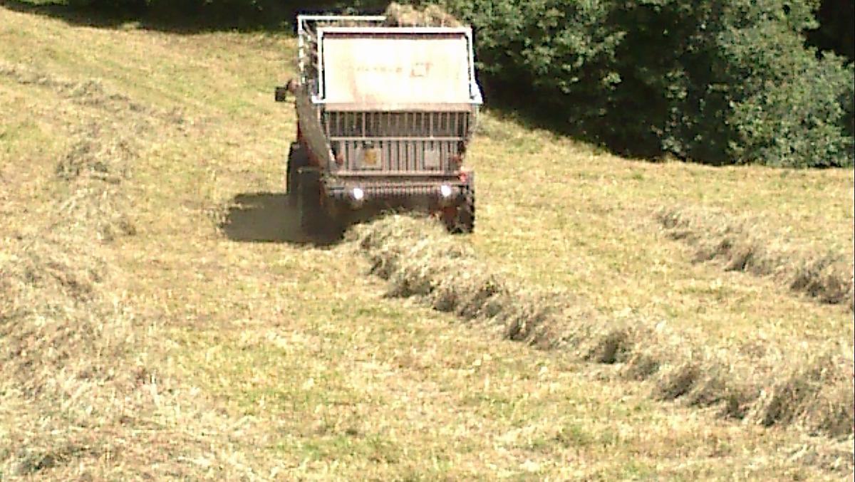
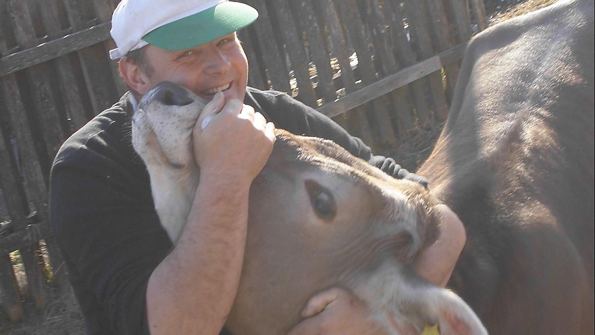
The Gadenhof is a farm with Livestock
- cattle farming (Swiss brown (cattle)) dairy production
These animals live on the farm all year-round
cattle
cows, bull calves, calves
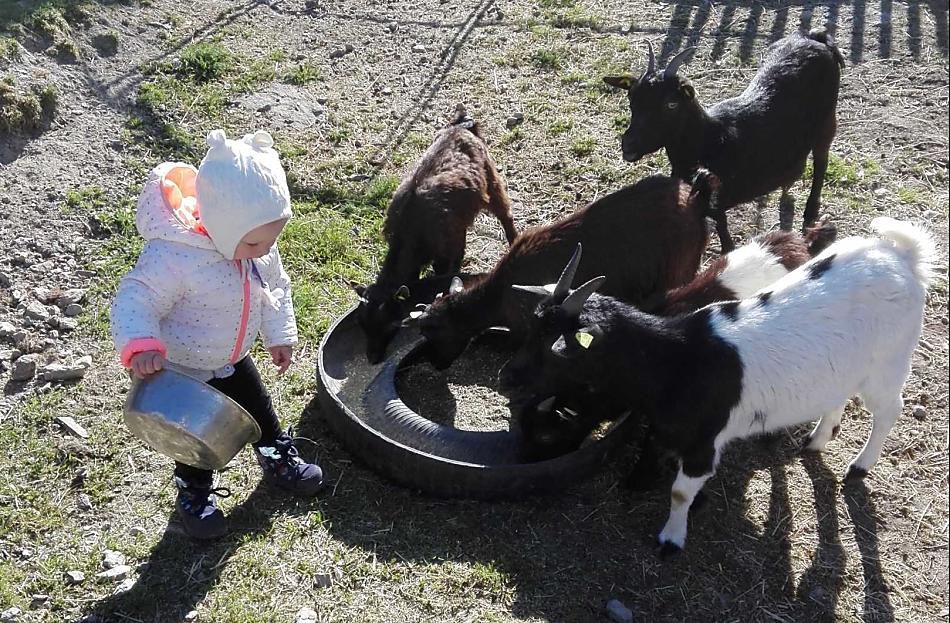
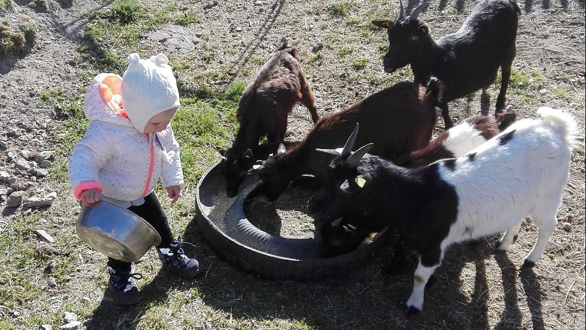
goats
dwarf goats
poultry
poultry, ducks, chickens, Indian runner ducks, turkeys
dog
dog
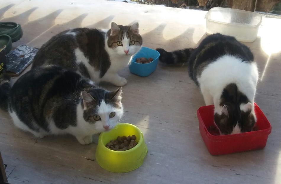
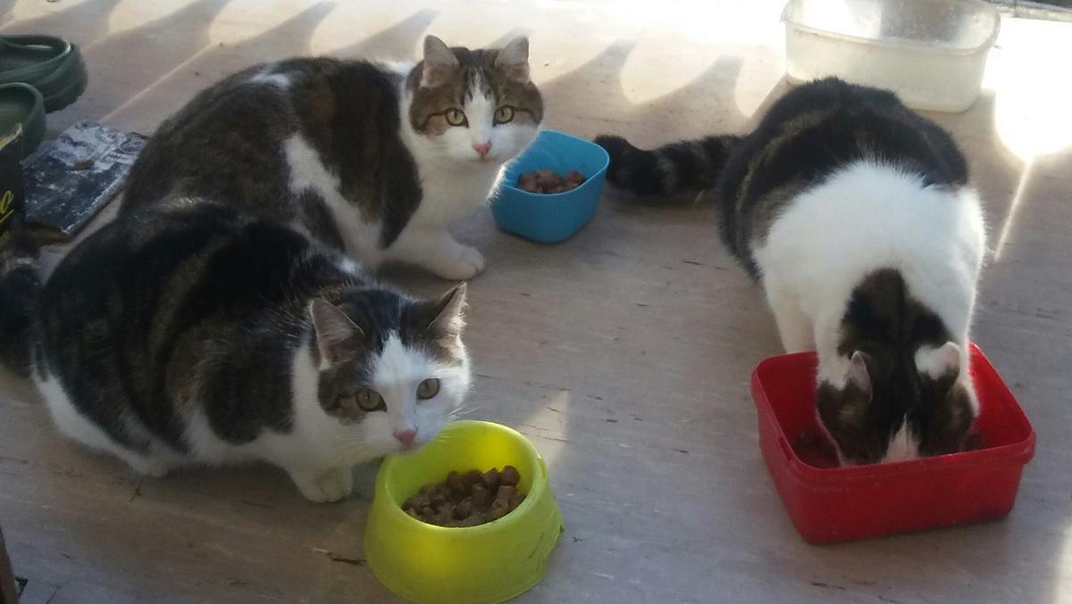
cat
cat
rabbits
dwarf rabbits
Things to do on the farm
Farm activities
- Barn visits
- Visit to the farm museum
Winter leisure activities
- Ski boot dryer
- Sledge/toboggan rental
- Snow shoe hire

Family Thomas und Annelies
extends a warm welcome!
We speak German, Italian and English
Holiday flat from 56€ a night
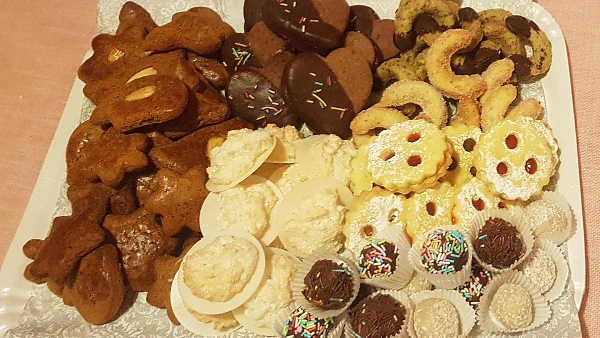
Moments of indulgence at Gadenhof
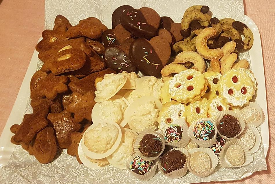
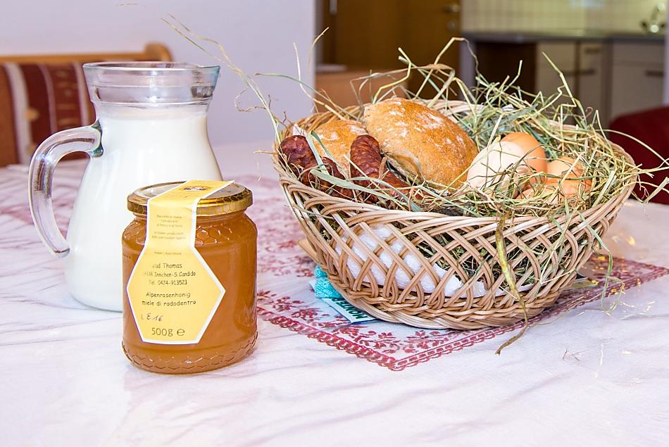
Farm's own products
- honey (blossom honey, dandelion honey, honeydew honey)
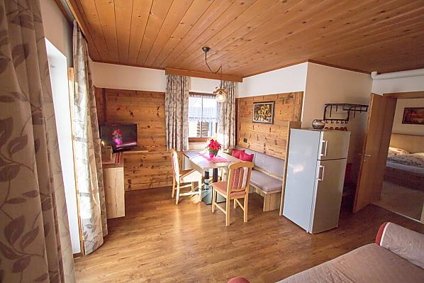
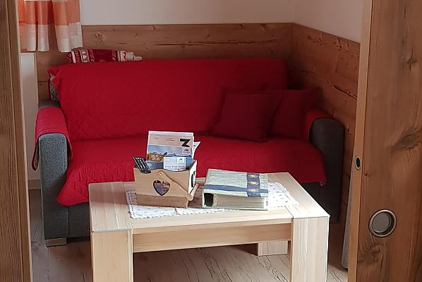
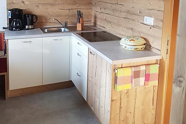
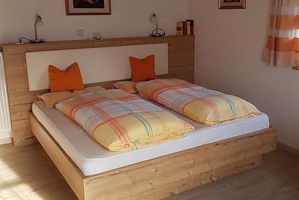
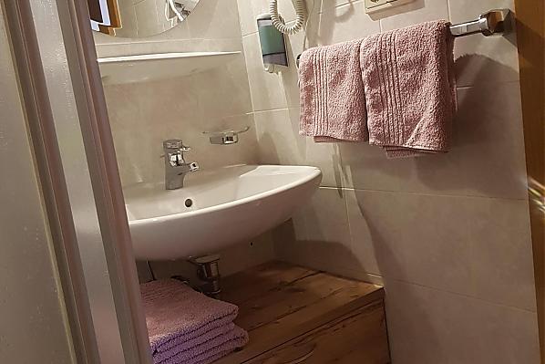
Accommodation & prices
All of our accommodation includes
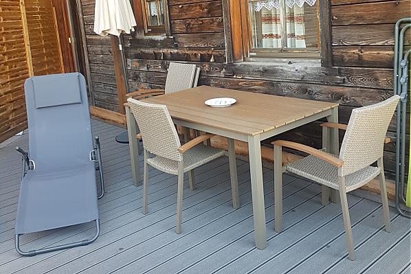
Outside area
- lawn for sunbathing etc.
- terrace
- Herb garden
- barbecue facilities
- children’s playground
- children's playhouse
- table football
- table tennis
- trampoline
Eco-friendly holiday
- Log heating
- Solar thermal system
Other services & facilities
- packed lunches
- covered parking
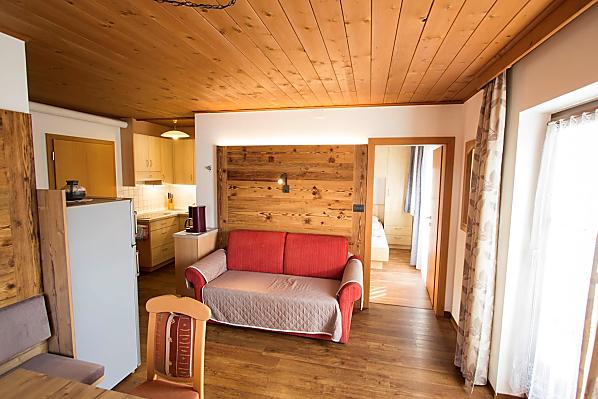
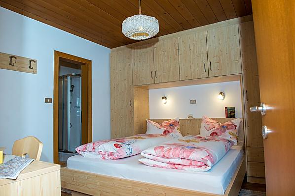
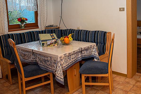
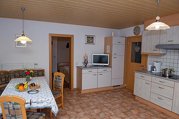
Holiday flat Dreischuster
4-6 persons (4 fixed beds) 43m²
from 112€ for 4 adults
Pets are allowed in this holiday flat


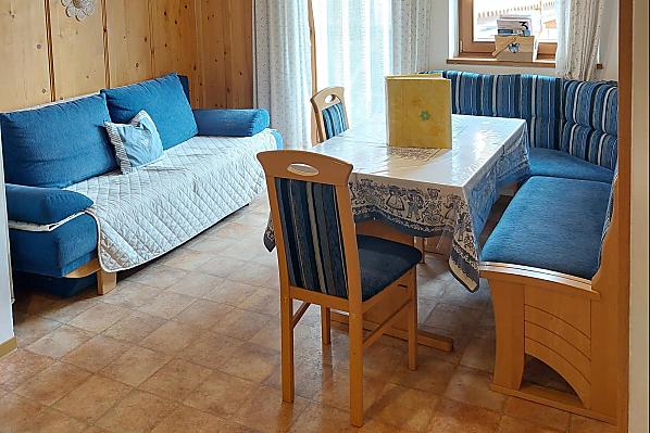
Holiday flat Gsell
2-3 persons (11 fixed beds) 35m²
from 56€ for 2 adults
Pets are allowed in this holiday flat


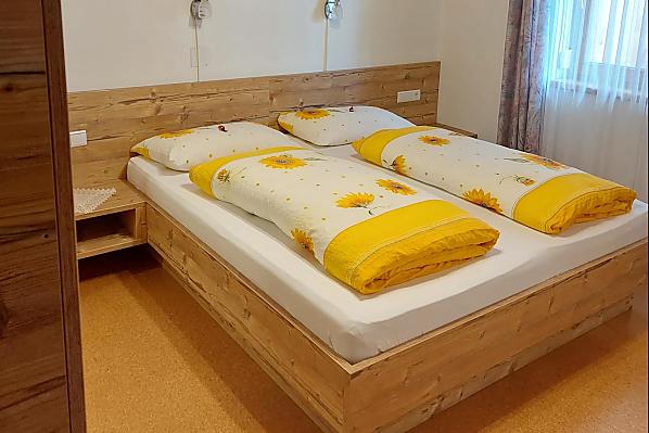
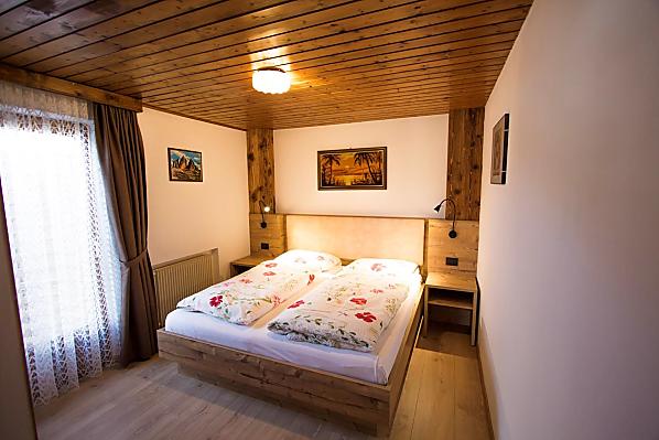
Holiday flat Helm
4-6 persons (4 fixed beds) 45m²
from 112€ for 4 adults
Pets are allowed in this holiday flat


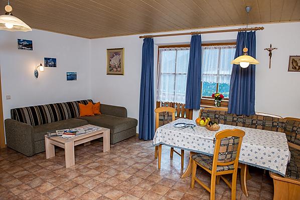
Holiday flat Haunold
6-8 persons (6 fixed beds) 70m²
from 168€ for 6 adults
Pets are allowed in this holiday flat


Location & arrival
Nearby
- distance to village centre2.5 km
- distance to ski slopes3 km
- distance to cross-country ski run3 km
- distance to sledge run3 km
- distance to cycle path2 km
- distance to bus stop2.5 km
- distance to shops2.5 km
- nearest eatery2.5 km
Activities nearby
Drava Cycle Path (Drau-Radweg): Innichen/San Candido - Lienz (AUT)
1,6 km
Papin Sport - Rent a bike
2,1 km
The San Michele Parish Church
2,1 km
Communal library (Computer & Wifi)
2,1 km
Museum of the Collegiate Church Innichen / San Candido
2,1 km
Playground School
2,1 km
Museum of the Collegiate Church Innichen / San Candido
2,2 km
Bike rental Trojer Martin
2,2 km
Playground "Burg"
2,4 km
Collegiate Church
2,4 km


Further farms
Still looking?
You're sure to find your dream holiday farm from amongst more than 1,600 holiday farms all over South Tyrol.