


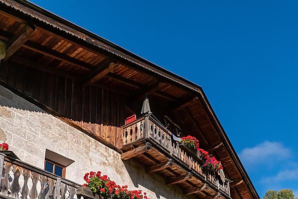
Psoarhof 
Farm holiday in Kastelruth/Seis
Fam. Runggaldier Rabanser St. Valentin 8
T +39 0471 707009 info@psoarhof.com
2 holiday flats: 2-3 persons, 2-4 persons
Our guests love …
- Listed farm - something special
- Central starting point for hikers and skiers
- Nice panoramic view
Farm with
Farm's own products:
milk
Farm offers:
Farm tour, Cellar tour
Our guests love …
- Listed farm - something special
- Central starting point for hikers and skiers
- Nice panoramic view


The farm
Our listed farm is in an easily accessible location. With the various connection options, you can reach your destinations without a car during your holiday, in winter as well as in summer. Our farm, including the animals, is ideal for small children who want to experience the farm and down-to-earthness up close.
Daily life on the farm
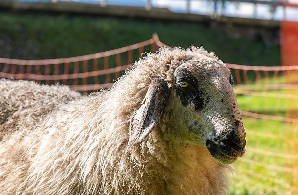
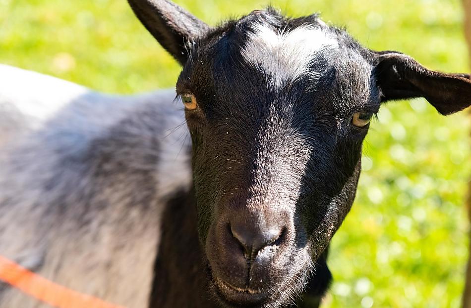
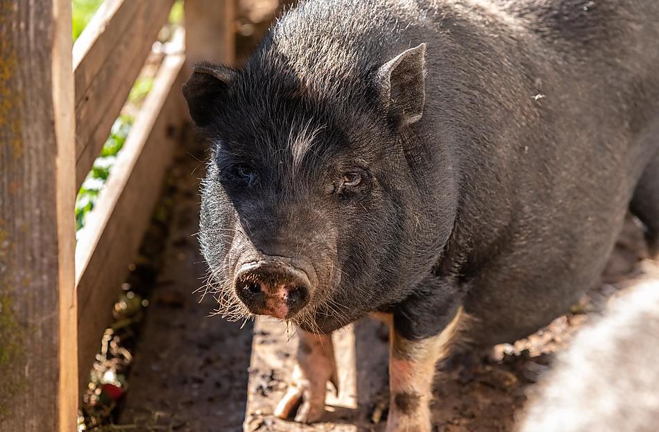
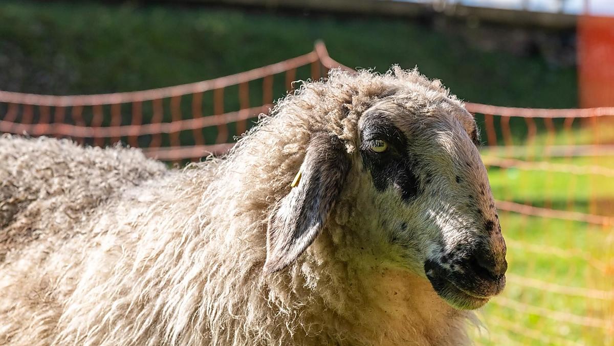
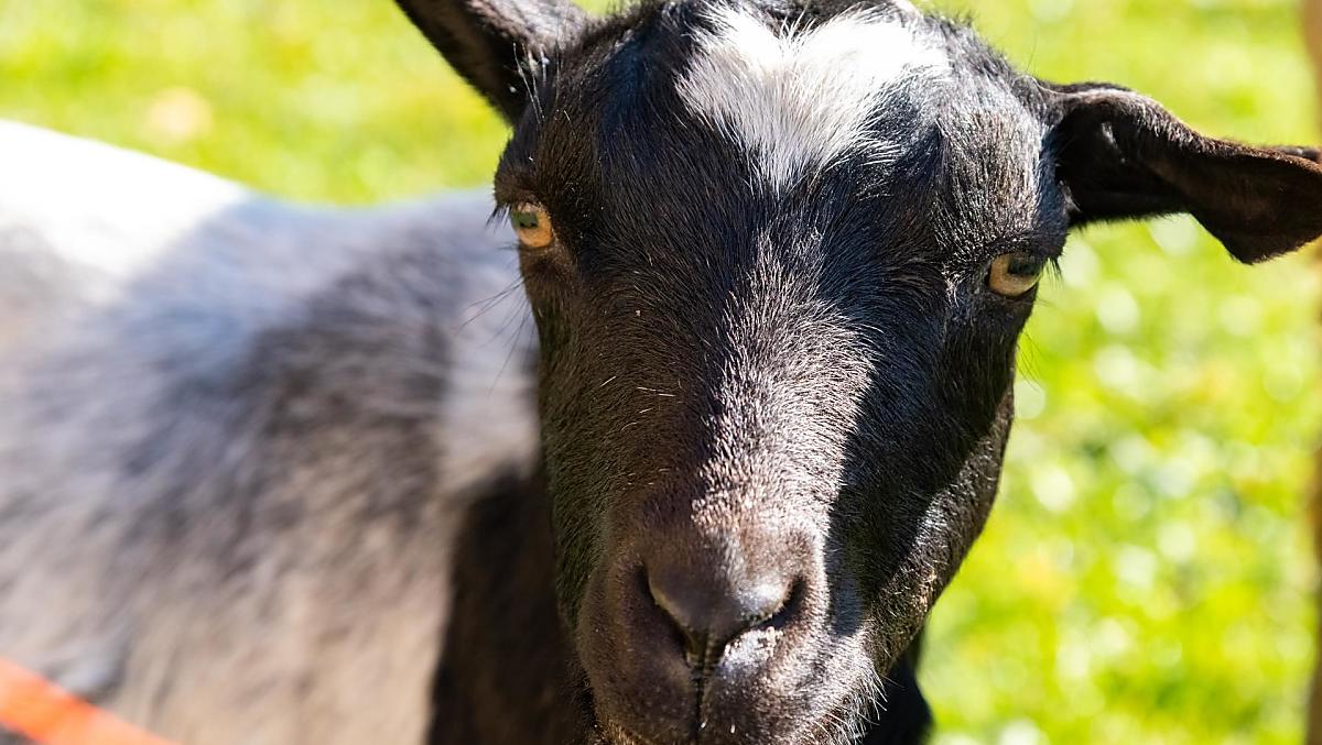
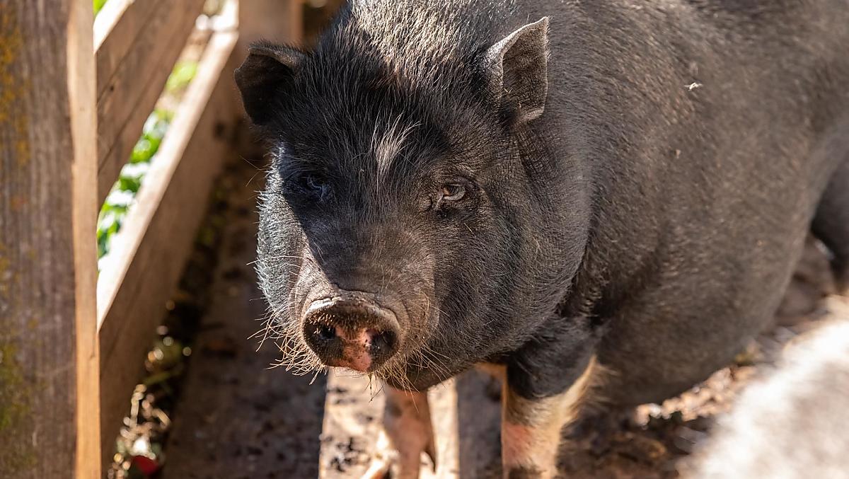
The Psoarhof is a farm with Livestock
- cattle farming (Simmental (cattle)) dairy production
- sheep farming
- goat farming
- pig farming
These animals live on the farm all year-round
cattle
cows, calves
pigs
pot-bellied pigs
sheep
sheep
goats
dwarf goats
cat
cat
rabbits
dwarf rabbits
Things to do on the farm
Farm activities
- Farm tour
- Cellar tour
- guests can take from the farm garden
We speak German and Italian
Holiday flat from 75€ a night
Moments of indulgence at Psoarhof
Farm's own products
- milk (cow’s milk)
Accommodation & prices
All of our accommodation includes
Outside area
- lawn for sunbathing etc.
- Herb garden
- Vegetable garden for guests
- barbecue facilities
- hammock
- children’s playground
- children's playhouse
- football pitch
- table tennis
Eco-friendly holiday
- Log heating
Communal indoor area
- Bicycle storage room
- Ski room
- Storage room
Other services & facilities
- Wi-Fi
- packed lunches

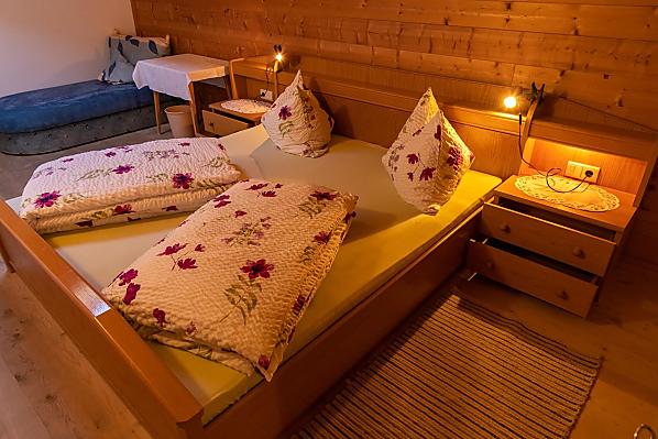
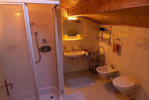
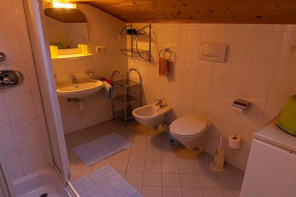
Holiday flat Schlern
2-4 persons (4 fixed beds) 75m²
from 75€ for 2 adults
Pets are allowed in this holiday flat


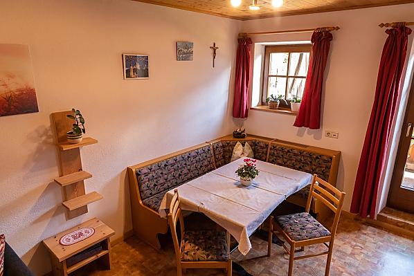
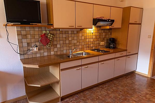
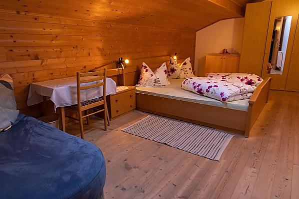
Holiday flat Puflatsch
2-3 persons (3 fixed beds) 75m²
from 75€ for 2 adults
Pets are allowed in this holiday flat


Location & arrival
Arrival
Take the Bozen Nord exit on the Brenner motorway and drive towards Blumau until you reach the Völs-Seiser Alm junction. When you reach Völs, stay on the same main road in the direction of Seis. From there, follow the well-signposted road and take the turnoff to Seiser Alm. After 1.5 km, follow the signs to Psoarhof and you will reach your destination.
Nearby
- distance to village centre3 km
- distance to ski slopes8 km
- distance to cross-country ski run8 km
- distance to sledge run8 km
- distance to bathing lake7.9 km
- distance to bus stop500 m
- distance to shops3 km
- nearest eatery3 km
Psoarhof
in Kastelruth/Seis lies at
1100 metres above sea level.
Activities nearby
Sports Centre Telfen
1,4 km
The St. Valentin bull
1,6 km
Equestrian Farm Unterlanzin
1,8 km
Equestrian Farm Unterlanzin
2 km
Wallburg Fortresses
2,1 km
Maria-Hilf Church
2,2 km
The mushroom path in the Laranz forest
2,3 km
292 Völs am Schlern - Seis am Schlern link trail
2,3 km
The Parish Church "Holy cross" of Seis
2,3 km
Hike from Seis to Kastelruth
2,3 km
Further farms
Still looking?
You're sure to find your dream holiday farm from amongst more than 1,600 holiday farms all over South Tyrol.