


Furnerhof 
Farm holiday in Karneid/Steinegg
Fam. Tauferer Rosengartenstraße 26
T +39 333 2724410 info@furnerhof.com
2 holiday flats: 2-6 persons
Our guests love …
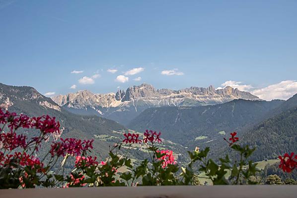
- the wonderful location with the unmistakable view
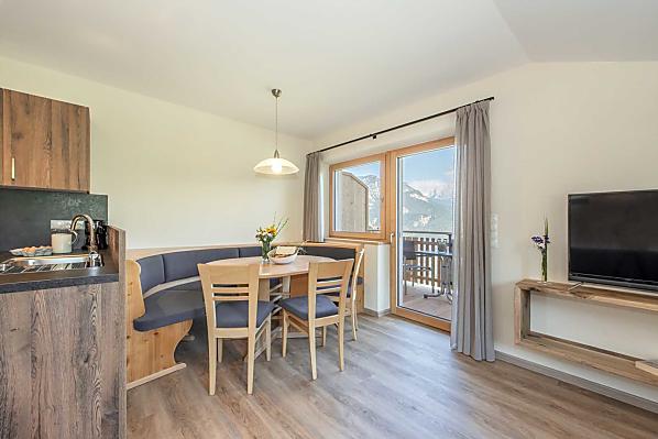
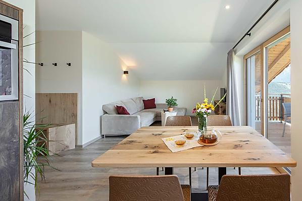
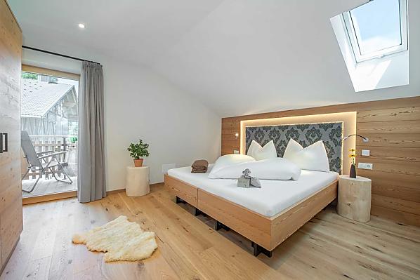
- the new and lovingly furnished holiday apartments
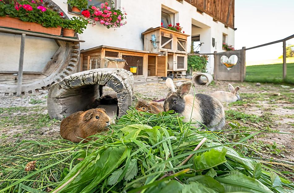
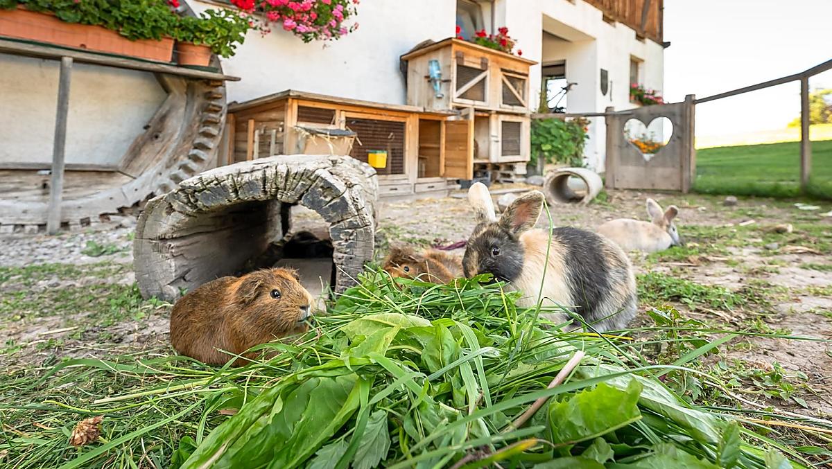
- the playground and the animals to pet
Farm with
Board: breakfast
Farm's own products:
milk, speck, sausages, eggs, seasoning ...
Farm offers:
Experience everyday life on the farm, Barn visits, Experience the hay harvest ...
Our guests love …
- the wonderful location with the unmistakable view
- the new and lovingly furnished holiday apartments
- the playground and the animals to pet


The farm
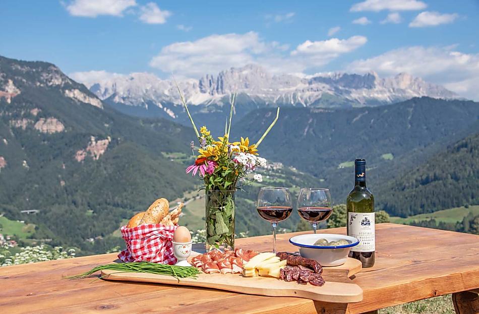
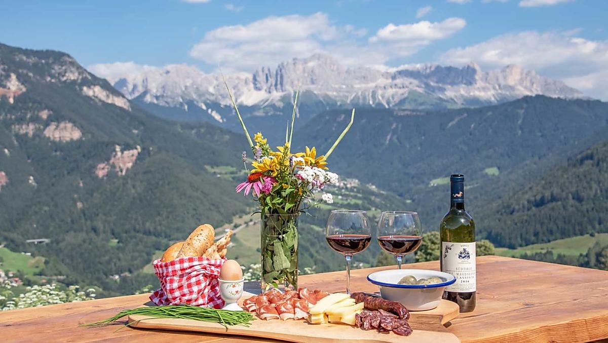
An unforgettable holiday in front of a unique, breathtaking backdrop, a high-quality gourmet breakfast and plenty of space for your children to run around - all this and much more awaits you at the Furnerhof.
Thanks to the central location of the village of Steinegg, skiing and hiking areas, cities, bathing lakes and numerous sights and excursion destinations can be reached in just a few minutes by car.
Thanks to the central location of the village of Steinegg, skiing and hiking areas, cities, bathing lakes and numerous sights and excursion destinations can be reached in just a few minutes by car.
Daily life on the farm
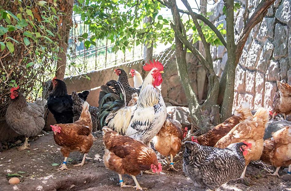
The Furnerhof is a farm with Livestock
- cattle farming (Swiss brown (cattle)) dairy production
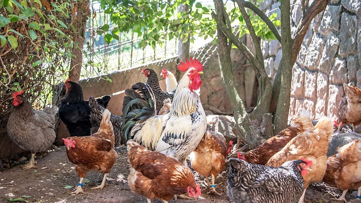
These animals live on the farm all year-round
cattle
cows, bull calves, calves
pigs
pigs
poultry
chickens
cat
cat
rabbits
rabbits
Things to do on the farm
Farm activities
- Experience everyday life on the farm
- Barn visits
- Experience the hay harvest
- Farm tour
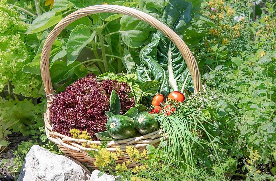
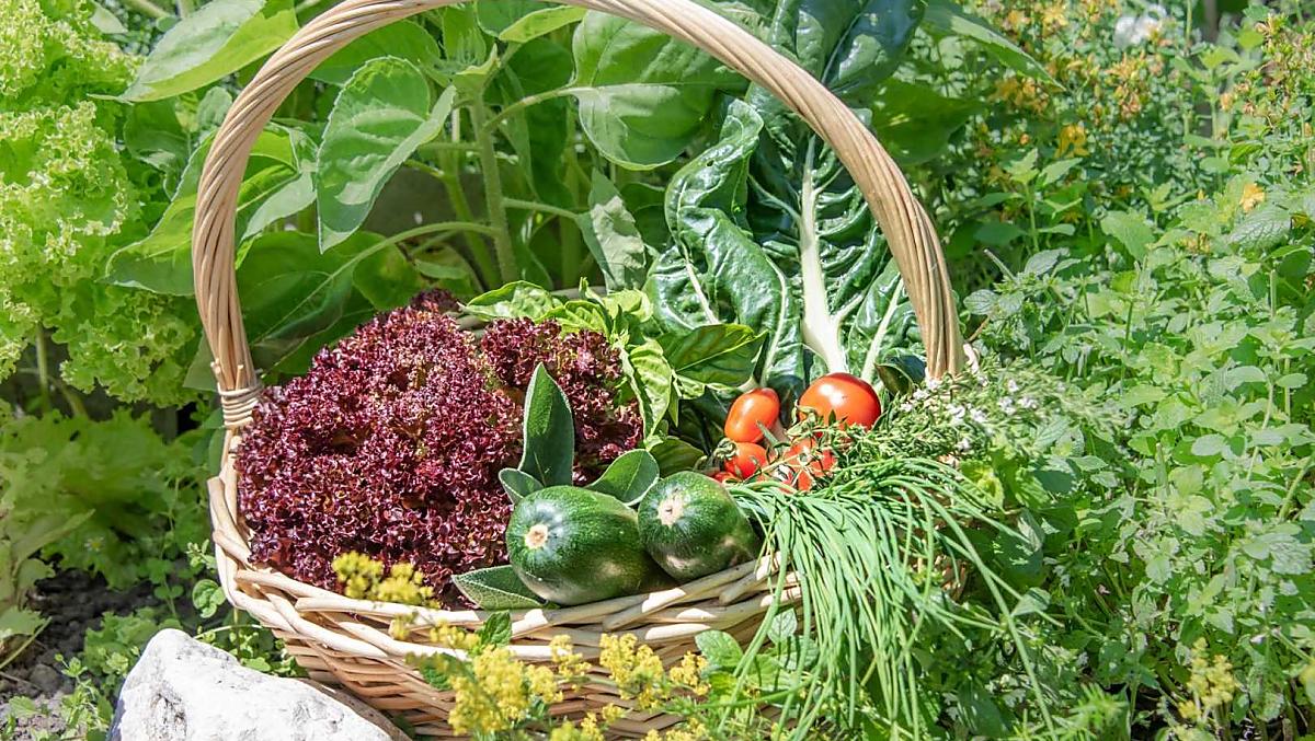
- Farm garden tour
- guests can take from the farm garden
We speak German, Italian and English
Holiday flat from 95€ a night
Moments of indulgence at Furnerhof
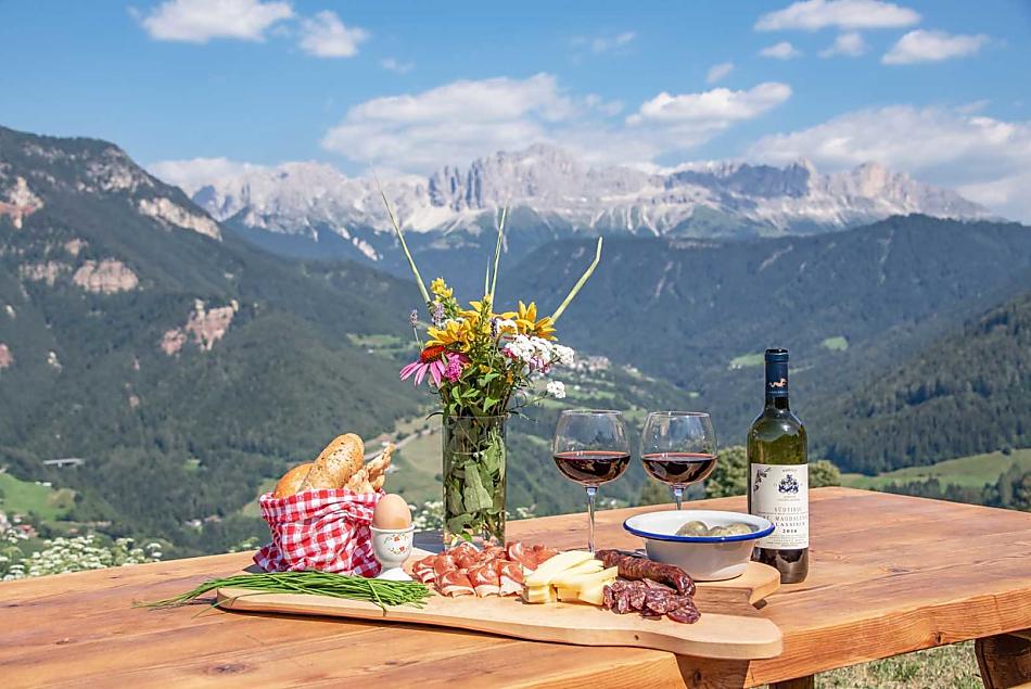
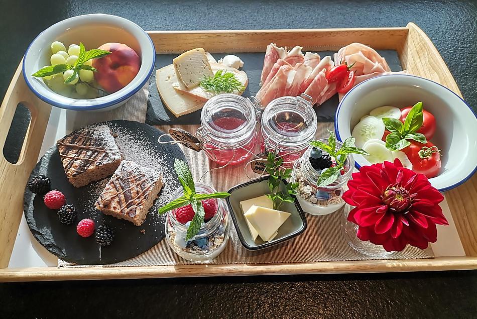
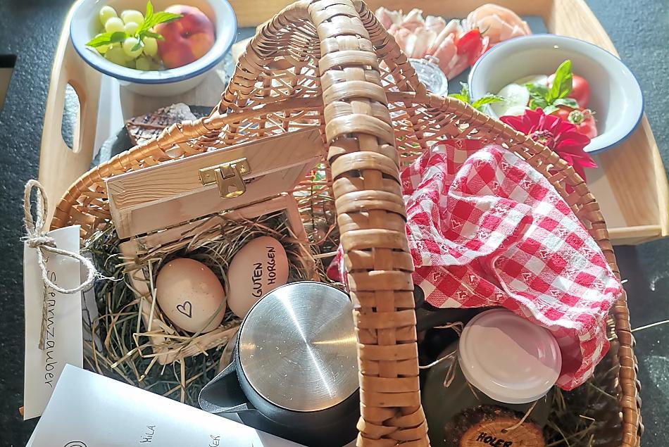


Breakfast
- Outdoor breakfast (depending on the season), Breakfast basket
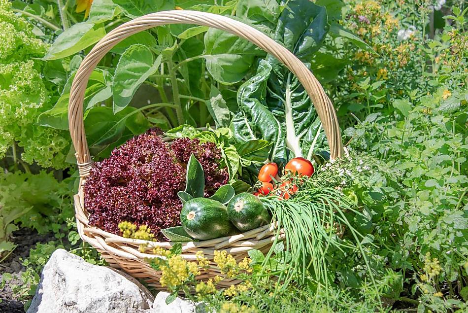
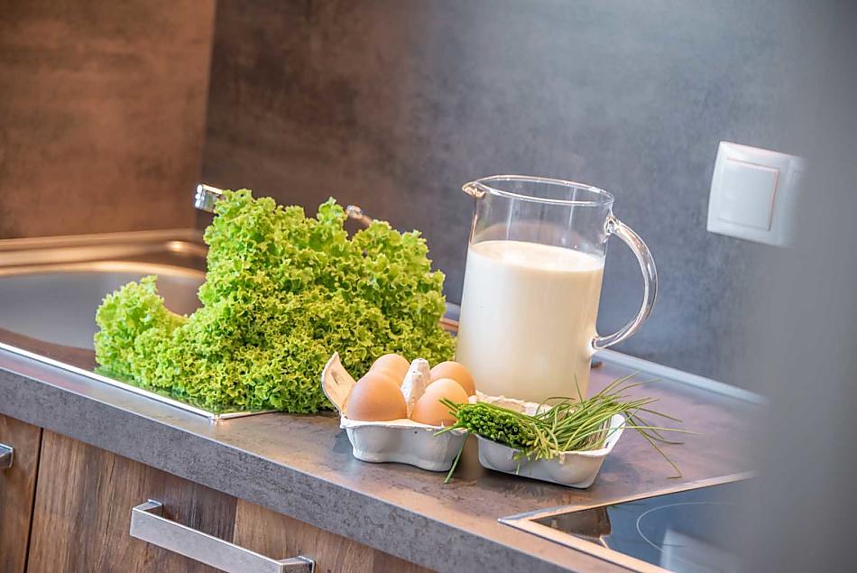
- Farm's own products at breakfast: milk, speck, sausages, eggs, fruit jams, cordial, herb teas, bread, baked goods, fresh vegetables in season, fresh fruit in season
Culinary offerings
- Farm produce afternoon snacks
Farm's own products
- potatoes
- milk (cow’s milk)
- speck (pancetta)
- sausages (Kaminwurzen)
- eggs (free-range eggs)
- seasoning (fresh herbs (depending on the season))
- fresh vegetables in season (asparagus, beans, beetroot, carrots, corn, courgettes, cucumbers, fennel, kohlrabi, leek, lettuce, onions, tomatoes)
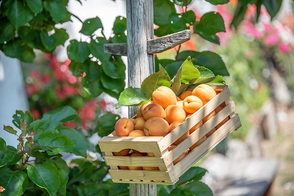
- fresh fruit in season (apricots, berries, blackcurrants, blueberries, cherries, damsons, pears, raspberries, strawberries)
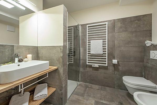
Accommodation & prices
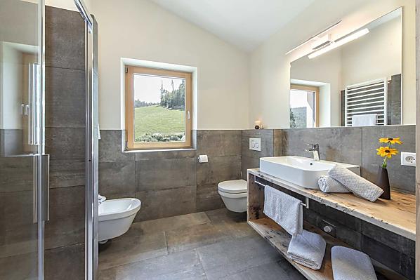
All of our accommodation includes
Outside area
- lawn for sunbathing etc.
- Farm garden
- Herb garden
- children’s playground
- basketball
- children's playhouse
- table football
- trampoline
Eco-friendly holiday
- Log heating
- Photovoltaic system
- Solar thermal system
Other services & facilities
- allergy friendly
- Wi-Fi
- packed lunches
- garage
- pick-up service from bus or train station
- laundry room
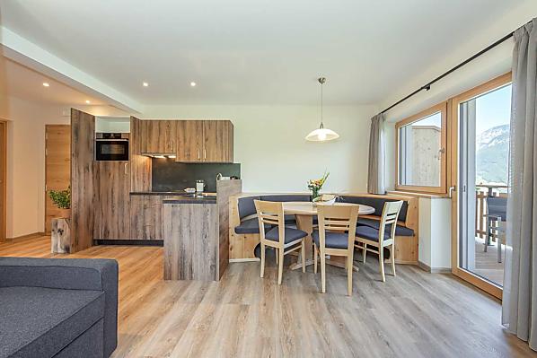
Holiday flat Olpenglühn
2-6 persons (4 fixed beds) 59m²
from 95€ for 2 adults
Pets are not allowed in this holiday flat


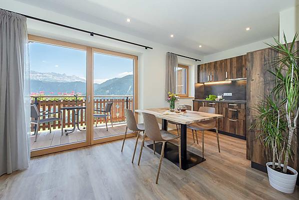
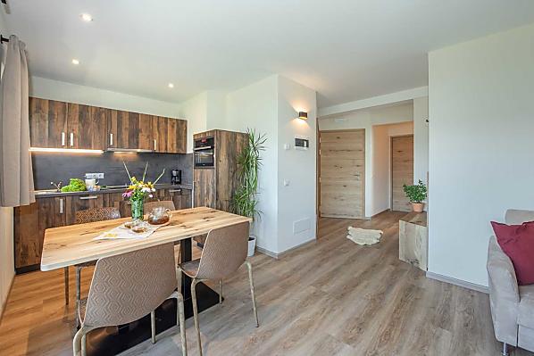
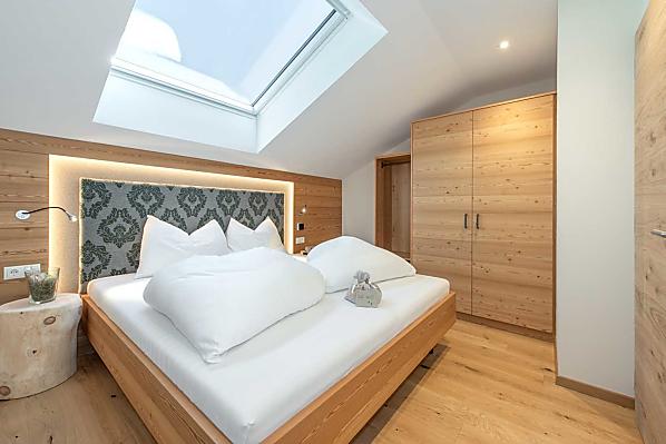
Holiday flat Stearnzauber
2-6 persons (4 fixed beds) 58m²
from 95€ for 2 adults
Pets are not allowed in this holiday flat


Location & arrival
Arrival
Exit the A22 Brenner motorway at Bozen Nord and continue north. At Blumau, turn right towards Steinegg. After about 10 minutes you will reach the resort of Steinegg. Stay on the main road for about 3 km until you see our farm on the right-hand side!
Nearby
- distance to village centre3.5 km
- distance to ski slopes19 km
- distance to cross-country ski run2.2 km
- distance to sledge run19 km
- distance to bathing lake22 km
- distance to cycle path9.3 km
- distance to bus stop200 m
- distance to shops3.5 km
Furnerhof
in Karneid/Steinegg lies at
1100 metres above sea level.
Activities nearby
Earth pyramids of Collepietra
1,5 km
Swimming pool Steinegg|Collepietra
1,6 km
Chapel Weißesbild
2 km
To the Earth Pyramids
2,7 km
Tourist information Collepietra
2,8 km
Winter Hike to the Untereggerhof Tavern
3,2 km
Hike to the Astronomical Observatory in San Valentino/Obergummer
3,4 km
Chapel Kasererbild
3,9 km
Planet Path
5,4 km
Star observatory "Max Valier"
5,4 km
Further farms
Still looking?
You're sure to find your dream holiday farm from amongst more than 1,600 holiday farms all over South Tyrol.