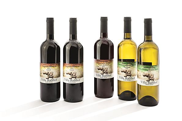

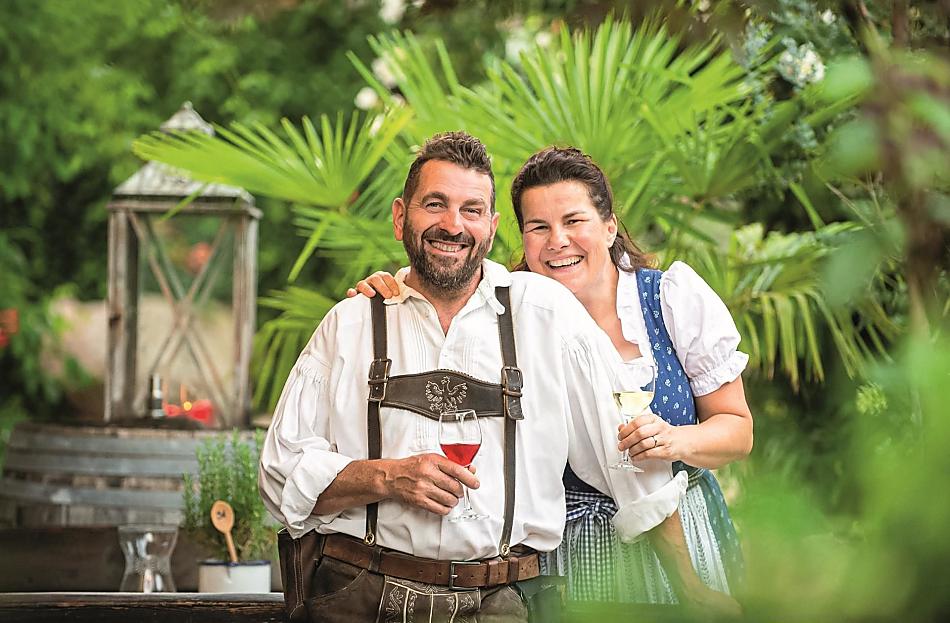

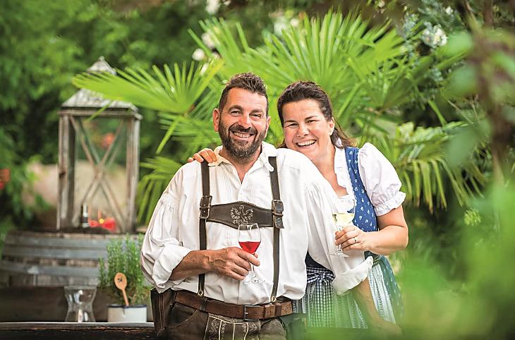


Knowing where it's from
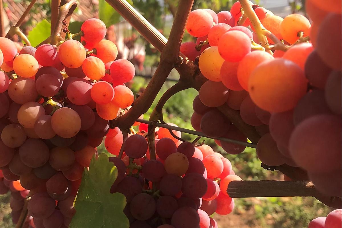
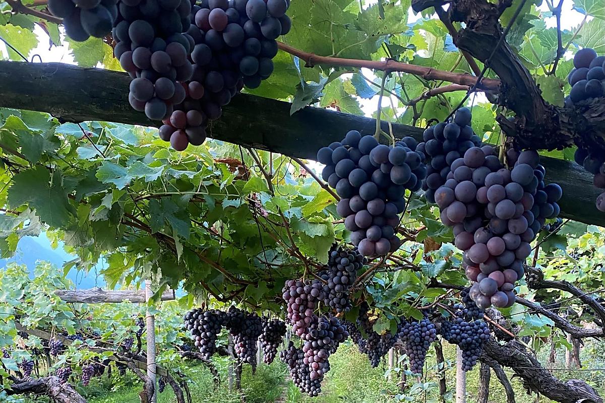
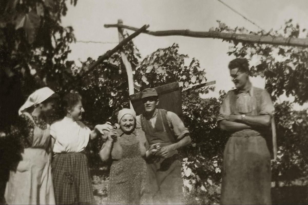
The Gamper family cultivates around 1.9 hectares of vineyards in Tramin. Each wine is cultivated on suitable soils. Gewürztraminer grows on red clay soil, Lagrein on warm, permeable soil, Cabernet in the best red wine location and Pinot blanc on a south-facing slope. Farmer Walter has been converting the farm to an organic wine-growing business since 2014.